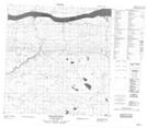
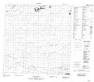
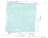
Maps showing Hair Stand Creek, Mackenzie, Northwest Territories
Hair Stand Creek is a River located in Mackenzie, Northwest Territories.
- Latitude: 61° 14' 0'' North (decimal: 61.2334368)
- Longitude: 119° 18' 5'' West (decimal: -119.3014324)
- Topography Feature Category: River
- Geographical Feature: Creek
- Canadian Province/Territory: Northwest Territories
- Location: Mackenzie
- Atlas of Canada Locator Map: Hair Stand Creek
- GPS Coordinate Locator Map: Hair Stand Creek Lat/Long
Hair Stand Creek NTS Map Sheets