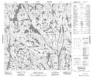
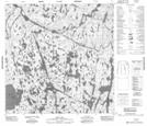
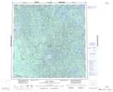
Maps showing Hanging Ice Lake, Mackenzie, Northwest Territories
Hanging Ice Lake is a Lake located in Mackenzie, Northwest Territories and has an elevation of 251 meters.
- Latitude: 60° 13' 1'' North (decimal: 60.2169075)
- Longitude: 110° 55' 4'' West (decimal: -110.9179042)
- Topography Feature Category: Lake
- Geographical Feature: Lake
- Canadian Province/Territory: Northwest Territories
- Elevation: 251 meters
- Location: Mackenzie
- Atlas of Canada Locator Map: Hanging Ice Lake
- GPS Coordinate Locator Map: Hanging Ice Lake Lat/Long
Hanging Ice Lake NTS Map Sheets