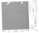
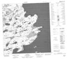
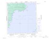
Maps showing Hardisty Island, Mackenzie, Northwest Territories
Hardisty Island is a Island located in Mackenzie, Northwest Territories and has an elevation of 160 meters.
- Latitude: 61° 44' 1'' North (decimal: 61.7335028)
- Longitude: 114° 37' 5'' West (decimal: -114.6179251)
- Topography Feature Category: Island
- Geographical Feature: Island
- Canadian Province/Territory: Northwest Territories
- Elevation: 160 meters
- Location: Mackenzie
- Atlas of Canada Locator Map: Hardisty Island
- GPS Coordinate Locator Map: Hardisty Island Lat/Long
Hardisty Island NTS Map Sheets