Maps showing Hay River, Mackenzie, Northwest Territories
Hay River is a River located in Mackenzie, Northwest Territories and has an elevation of 178 meters.
- Latitude: 60° 51' 50'' North (decimal: 60.8640175)
- Longitude: 115° 44' 5'' West (decimal: -115.7346946)
- Topography Feature Category: River
- Geographical Feature: River
- Canadian Province/Territory: Northwest Territories
- Elevation: 178 meters
- Location: Mackenzie
- Atlas of Canada Locator Map: Hay River
- GPS Coordinate Locator Map: Hay River Lat/Long
Hay River NTS Map Sheets
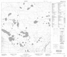
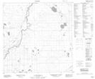
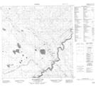
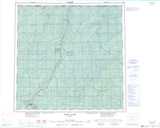
084N15 Lessard Creek Topographic Map at 1:50,000 scale
085B12 Sandy River Topographic Map at 1:50,000 scale
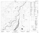
085B13 Hay River Topographic Map at 1:50,000 scale
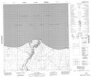
085C02 Grumbler Rapids Topographic Map at 1:50,000 scale
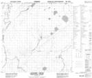
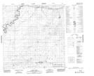
085C07 No Title Topographic Map at 1:50,000 scale
085C08 No Title Topographic Map at 1:50,000 scale
085C09 Escarpment Lake Topographic Map at 1:50,000 scale
084N Steen River Topographic Map at 1:250,000 scale
085B Buffalo Lake Topographic Map at 1:250,000 scale
085C Tathlina Lake Topographic Map at 1:250,000 scale