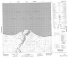
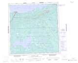
Maps showing Hay River Point, Mackenzie, Northwest Territories
Hay River Point is a Cape located in Mackenzie, Northwest Territories and has an elevation of 158 meters.
- Latitude: 60° 52' 0'' North (decimal: 60.8667954)
- Longitude: 115° 43' 35'' West (decimal: -115.7263610)
- Topography Feature Category: Cape
- Geographical Feature: Point
- Canadian Province/Territory: Northwest Territories
- Elevation: 158 meters
- Location: Mackenzie
- Atlas of Canada Locator Map: Hay River Point
- GPS Coordinate Locator Map: Hay River Point Lat/Long
Hay River Point NTS Map Sheets