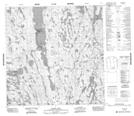
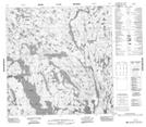
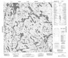
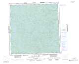
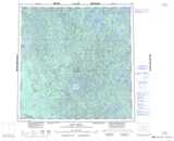
Maps showing Hill Island Lake, Mackenzie, Northwest Territories
Hill Island Lake is a Lake located in Mackenzie, Northwest Territories and has an elevation of 337 meters.
- Latitude: 60° 29' 1'' North (decimal: 60.4834983)
- Longitude: 109° 50' 4'' West (decimal: -109.8343815)
- Topography Feature Category: Lake
- Geographical Feature: Lake
- Canadian Province/Territory: Northwest Territories
- Elevation: 337 meters
- Location: Mackenzie
- Atlas of Canada Locator Map: Hill Island Lake
- GPS Coordinate Locator Map: Hill Island Lake Lat/Long
Hill Island Lake NTS Map Sheets