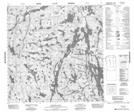
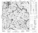
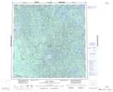
Maps showing Hill Island River, Mackenzie, Northwest Territories
Hill Island River is a River located in Mackenzie, Northwest Territories and has an elevation of 295 meters.
- Latitude: 60° 30' 1'' North (decimal: 60.5001831)
- Longitude: 110° 16' 4'' West (decimal: -110.2678101)
- Topography Feature Category: River
- Geographical Feature: River
- Canadian Province/Territory: Northwest Territories
- Elevation: 295 meters
- Location: Mackenzie
- Atlas of Canada Locator Map: Hill Island River
- GPS Coordinate Locator Map: Hill Island River Lat/Long
Hill Island River NTS Map Sheets