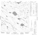
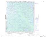
Maps showing Horseshoe Rapids, Mackenzie, Northwest Territories
Horseshoe Rapids is a Rapids located in Mackenzie, Northwest Territories and has an elevation of 211 meters.
- Latitude: 62° 19' 1'' North (decimal: 62.3168200)
- Longitude: 117° 50' 5'' West (decimal: -117.8347310)
- Topography Feature Category: Rapids
- Geographical Feature: Rapids
- Canadian Province/Territory: Northwest Territories
- Elevation: 211 meters
- Location: Mackenzie
- Atlas of Canada Locator Map: Horseshoe Rapids
- GPS Coordinate Locator Map: Horseshoe Rapids Lat/Long