Maps showing Hottah Lake, Mackenzie, Northwest Territories
Hottah Lake is a Lake located in Mackenzie, Northwest Territories.
- Latitude: 65° 4' 1'' North (decimal: 65.0669102)
- Longitude: 118° 30' 6'' West (decimal: -118.5016058)
- Topography Feature Category: Lake
- Geographical Feature: Lake
- Canadian Province/Territory: Northwest Territories
- Location: Mackenzie
- Atlas of Canada Locator Map: Hottah Lake
- GPS Coordinate Locator Map: Hottah Lake Lat/Long
Hottah Lake NTS Map Sheets
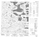
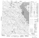
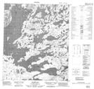
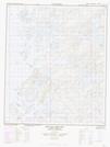
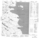
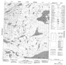
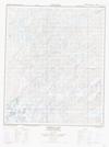
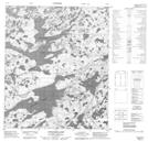
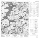
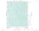
086D09 Beaverlodge Lake Topographic Map at 1:50,000 scale
086D15 No Title Topographic Map at 1:50,000 scale
086D16 Stairs Bay Topographic Map at 1:50,000 scale
086E01 Hottah Lake East Topographic Map at 1:50,000 scale
086E02 Kechinta Island Topographic Map at 1:50,000 scale
086E07 Yanik Lake Topographic Map at 1:50,000 scale
086E08 Fishtrap Lake Topographic Map at 1:50,000 scale
086F04 Longtom Lake Topographic Map at 1:50,000 scale
086F05 Grouard Lake Topographic Map at 1:50,000 scale
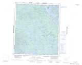
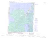
086D Riviere Grandin Topographic Map at 1:250,000 scale
086E Leith Peninsula Topographic Map at 1:250,000 scale
086F Calder River Topographic Map at 1:250,000 scale