Canada Topographic Maps

Ibbett Bay Topo Maps

Topography maps and Latitude/Longitude Location

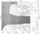
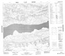
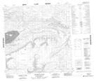
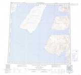
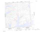
Maps showing Ibbett Bay, Franklin, Northwest Territories

Ibbett Bay is a Bay located in Franklin, Northwest Territories.

  • Latitude: 75° 50' 2'' North   (decimal: 75.8340182)
  • Longitude: 115° 45' 10'' West   (decimal: -115.7528271)
  • Topography Feature Category: Bay
  • Geographical Feature: Bay
  • Canadian Province/Territory: Northwest Territories
  • Location: Franklin
  • Atlas of Canada Locator Map: Ibbett Bay
  • GPS Coordinate Locator Map: Ibbett Bay Lat/Long

Ibbett Bay NTS Map Sheets

088G16 Ibbett Bay Topographic Map at 1:50,000 scale

088H13 No Title Topographic Map at 1:50,000 scale

088H14 Leopold Glacier Topographic Map at 1:50,000 scale

088G Eglinton Island Topographic Map at 1:250,000 scale

088H Murray Inlet Topographic Map at 1:250,000 scale

 
Buy Topographic Maps DVD
Newsletter Sign-up

Yes, I want to receive map store discounts.


Bookmark and Share