Canada Topographic Maps

Iroquois River Topo Maps

Topography maps and Latitude/Longitude Location

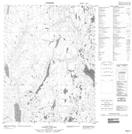
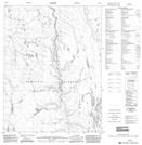
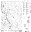
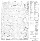
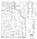
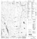
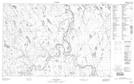
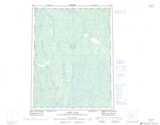
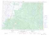
Maps showing Iroquois River, Mackenzie, Northwest Territories

Iroquois River is a River located in Mackenzie, Northwest Territories and has an elevation of 115 meters.

  • Latitude: 68° 5' 0'' North   (decimal: 68.0834072)
  • Longitude: 129° 26' 8'' West   (decimal: -129.4356796)
  • Topography Feature Category: River
  • Geographical Feature: River
  • Canadian Province/Territory: Northwest Territories
  • Elevation: 115 meters
  • Location: Mackenzie
  • Atlas of Canada Locator Map: Iroquois River
  • GPS Coordinate Locator Map: Iroquois River Lat/Long

Iroquois River NTS Map Sheets

106P03 No Title Topographic Map at 1:50,000 scale

106P06 No Title Topographic Map at 1:50,000 scale

106P11 Yatage Lakes Topographic Map at 1:50,000 scale

106P12 No Title Topographic Map at 1:50,000 scale

106P13 No Title Topographic Map at 1:50,000 scale

106P14 Yatage River Topographic Map at 1:50,000 scale

107A02 No Title Topographic Map at 1:50,000 scale

106P Canot Lake Topographic Map at 1:250,000 scale

107A Crossley Lakes Topographic Map at 1:250,000 scale

 
Buy Topographic Maps DVD
Newsletter Sign-up

Yes, I want to receive map store discounts.


Bookmark and Share