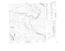
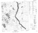
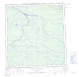
Maps showing Jean Marie River, Mackenzie, Northwest Territories
Jean Marie River is a Unincorporated area located in Mackenzie, Northwest Territories.
- Latitude: 61° 31' 25'' North (decimal: 61.5237088)
- Longitude: 120° 37' 35'' West (decimal: -120.6264604)
- Topography Feature Category: Unincorporated area
- Geographical Feature: Settlement
- Canadian Province/Territory: Northwest Territories
- Location: Mackenzie
- Atlas of Canada Locator Map: Jean Marie River
- GPS Coordinate Locator Map: Jean Marie River Lat/Long
Jean Marie River NTS Map Sheets