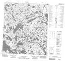
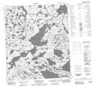
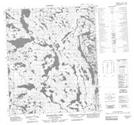
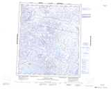
Maps showing Jim Magrum Lake, Mackenzie, Northwest Territories
Jim Magrum Lake is a Lake located in Mackenzie, Northwest Territories and has an elevation of 315 meters.
- Latitude: 64° 44' 1'' North (decimal: 64.7336383)
- Longitude: 108° 0' 4'' West (decimal: -108.0009844)
- Topography Feature Category: Lake
- Geographical Feature: Lake
- Canadian Province/Territory: Northwest Territories
- Elevation: 315 meters
- Location: Mackenzie
- Atlas of Canada Locator Map: Jim Magrum Lake
- GPS Coordinate Locator Map: Jim Magrum Lake Lat/Long
Jim Magrum Lake NTS Map Sheets