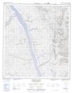
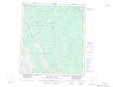
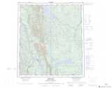
Maps showing Johnson River, Mackenzie, Northwest Territories
Johnson River is a River located in Mackenzie, Northwest Territories and has an elevation of 235 meters.
- Latitude: 63° 42' 55'' North (decimal: 63.7153726)
- Longitude: 123° 54' 36'' West (decimal: -123.9100403)
- Topography Feature Category: River
- Geographical Feature: River
- Canadian Province/Territory: Northwest Territories
- Elevation: 235 meters
- Location: Mackenzie
- Atlas of Canada Locator Map: Johnson River
- GPS Coordinate Locator Map: Johnson River Lat/Long
Johnson River NTS Map Sheets
095N01 No Title Topographic Map at 1:50,000 scale
095N02 Iverson Range Topographic Map at 1:50,000 scale
095N08 No Title Topographic Map at 1:50,000 scale
095N09 No Title Topographic Map at 1:50,000 scale
095O12 Johnson River Topographic Map at 1:50,000 scale
095N Dahadinni River Topographic Map at 1:250,000 scale
095O Wrigley Topographic Map at 1:250,000 scale