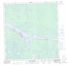
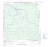
Maps showing Kellett Shoal, Mackenzie, Northwest Territories
Kellett Shoal is a Shoal located in Mackenzie, Northwest Territories.
- Latitude: 61° 50' 0'' North (decimal: 61.8334323)
- Longitude: 121° 9' 5'' West (decimal: -121.1514867)
- Topography Feature Category: Shoal
- Geographical Feature: Shoal
- Canadian Province/Territory: Northwest Territories
- Location: Mackenzie
- Atlas of Canada Locator Map: Kellett Shoal
- GPS Coordinate Locator Map: Kellett Shoal Lat/Long
Kellett Shoal NTS Map Sheets