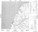
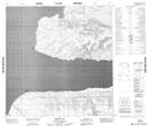
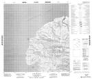
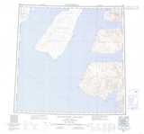
Maps showing Kellett Strait, Franklin, Northwest Territories
Kellett Strait is a Channel located in Franklin, Northwest Territories.
- Latitude: 75° 45' 2'' North (decimal: 75.7506554)
- Longitude: 117° 30' 11'' West (decimal: -117.5029878)
- Topography Feature Category: Channel
- Geographical Feature: Strait
- Canadian Province/Territory: Northwest Territories
- Location: Franklin
- Atlas of Canada Locator Map: Kellett Strait
- GPS Coordinate Locator Map: Kellett Strait Lat/Long
Kellett Strait NTS Map Sheets