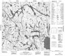
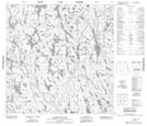
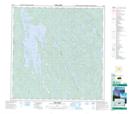
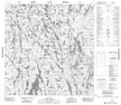
Maps showing Konth River, Mackenzie, Northwest Territories
Konth River is a River located in Mackenzie, Northwest Territories and has an elevation of 253 meters.
- Latitude: 60° 40' 1'' North (decimal: 60.6669028)
- Longitude: 111° 46' 4'' West (decimal: -111.7678068)
- Topography Feature Category: River
- Geographical Feature: River
- Canadian Province/Territory: Northwest Territories
- Elevation: 253 meters
- Location: Mackenzie
- Atlas of Canada Locator Map: Konth River
- GPS Coordinate Locator Map: Konth River Lat/Long
Konth River NTS Map Sheets