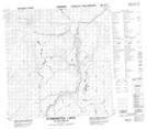
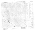
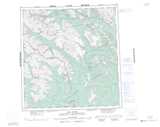
Maps showing Leigh Creek, Mackenzie, Northwest Territories
Leigh Creek is a River located in Mackenzie, Northwest Territories.
- Latitude: 61° 17' 35'' North (decimal: 61.2929478)
- Longitude: 126° 19' 41'' West (decimal: -126.3280403)
- Topography Feature Category: River
- Geographical Feature: Creek
- Canadian Province/Territory: Northwest Territories
- Location: Mackenzie
- Atlas of Canada Locator Map: Leigh Creek
- GPS Coordinate Locator Map: Leigh Creek Lat/Long
Leigh Creek NTS Map Sheets