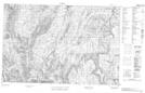
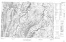
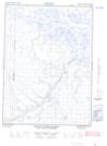
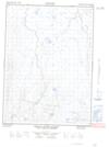
Maps showing Little Fish Creek, Franklin, Northwest Territories
Little Fish Creek is a River located in Franklin, Northwest Territories and has an elevation of 142 meters.
- Latitude: 68° 32' 59'' North (decimal: 68.5498521)
- Longitude: 136° 15' 9'' West (decimal: -136.2526031)
- Topography Feature Category: River
- Geographical Feature: Creek
- Canadian Province/Territory: Northwest Territories
- Elevation: 142 meters
- Location: Franklin
- Atlas of Canada Locator Map: Little Fish Creek
- GPS Coordinate Locator Map: Little Fish Creek Lat/Long
Little Fish Creek NTS Map Sheets