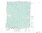
Maps showing Little Smith Creek, Mackenzie, Northwest Territories
Little Smith Creek is a River located in Mackenzie, Northwest Territories and has an elevation of 141 meters.
- Latitude: 64° 25' 55'' North (decimal: 64.4320387)
- Longitude: 124° 46' 11'' West (decimal: -124.7697980)
- Topography Feature Category: River
- Geographical Feature: Creek
- Canadian Province/Territory: Northwest Territories
- Elevation: 141 meters
- Location: Mackenzie
- Atlas of Canada Locator Map: Little Smith Creek
- GPS Coordinate Locator Map: Little Smith Creek Lat/Long
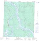
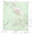
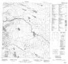
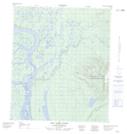
Little Smith Creek NTS Map Sheets