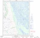
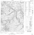
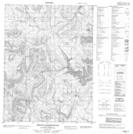
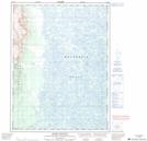
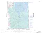
Maps showing Longstick River, Mackenzie, Northwest Territories
Longstick River is a River located in Mackenzie, Northwest Territories and has an elevation of 328 meters.
- Latitude: 67° 44' 49'' North (decimal: 67.7470686)
- Longitude: 135° 26' 9'' West (decimal: -135.4358085)
- Topography Feature Category: River
- Geographical Feature: River
- Canadian Province/Territory: Northwest Territories
- Elevation: 328 meters
- Location: Mackenzie
- Atlas of Canada Locator Map: Longstick River
- GPS Coordinate Locator Map: Longstick River Lat/Long
Longstick River NTS Map Sheets