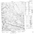
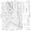
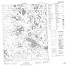
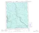
Maps showing Lower Beaver River, Mackenzie, Northwest Territories
Lower Beaver River is a River located in Mackenzie, Northwest Territories and has an elevation of 28 meters.
- Latitude: 66° 41' 00'' North (decimal: 66.6832306)
- Longitude: 133° 6' 8'' West (decimal: -133.1022423)
- Topography Feature Category: River
- Geographical Feature: River
- Canadian Province/Territory: Northwest Territories
- Elevation: 28 meters
- Location: Mackenzie
- Atlas of Canada Locator Map: Lower Beaver River
- GPS Coordinate Locator Map: Lower Beaver River Lat/Long
Lower Beaver River NTS Map Sheets