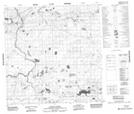
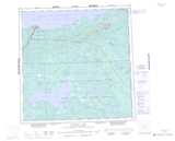
Maps showing Mellor, Mackenzie, Northwest Territories
Mellor is a Unincorporated area located in Mackenzie, Northwest Territories and has an elevation of 223 meters.
- Latitude: 60° 42' 50'' North (decimal: 60.7140189)
- Longitude: 114° 56' 35'' West (decimal: -114.9429650)
- Topography Feature Category: Unincorporated area
- Geographical Feature: Railway Point
- Canadian Province/Territory: Northwest Territories
- Elevation: 223 meters
- Location: Mackenzie
- Atlas of Canada Locator Map: Mellor
- GPS Coordinate Locator Map: Mellor Lat/Long
Mellor NTS Map Sheets