Canada Topographic Maps

Mercy Bay Topo Maps

Topography maps and Latitude/Longitude Location

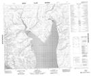
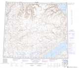
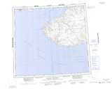
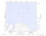
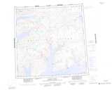
Maps showing Mercy Bay, Franklin, Northwest Territories

Mercy Bay is a Bay located in Franklin, Northwest Territories and has an elevation of 0 meters.

  • Latitude: 74° 5' 2'' North   (decimal: 74.0839035)
  • Longitude: 119° 0' 10'' West   (decimal: -119.0029152)
  • Topography Feature Category: Bay
  • Geographical Feature: Bay
  • Canadian Province/Territory: Northwest Territories
  • Elevation: 0 meters
  • Location: Franklin
  • Atlas of Canada Locator Map: Mercy Bay
  • GPS Coordinate Locator Map: Mercy Bay Lat/Long

Mercy Bay NTS Map Sheets

088C13 No Title Topographic Map at 1:50,000 scale

088E13 Cape Smyth Topographic Map at 1:50,000 scale

088F03 Back Point Topographic Map at 1:50,000 scale

088F04 Castel Bay Topographic Map at 1:50,000 scale

088H04 Hardy Bay Topographic Map at 1:50,000 scale

088C White Sand Creek Topographic Map at 1:250,000 scale

088E Dundas Peninsula Topographic Map at 1:250,000 scale

088F Mercy Bay Topographic Map at 1:250,000 scale

088H Murray Inlet Topographic Map at 1:250,000 scale

 
Buy Topographic Maps DVD
Newsletter Sign-up

Yes, I want to receive map store discounts.


Bookmark and Share