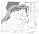
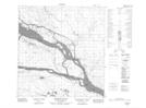
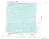
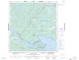
Maps showing Meridian Island, Mackenzie, Northwest Territories
Meridian Island is a Island located in Mackenzie, Northwest Territories and has an elevation of 151 meters.
- Latitude: 61° 21' 0'' North (decimal: 61.3501277)
- Longitude: 117° 48' 5'' West (decimal: -117.8013960)
- Topography Feature Category: Island
- Geographical Feature: Island
- Canadian Province/Territory: Northwest Territories
- Elevation: 151 meters
- Location: Mackenzie
- Atlas of Canada Locator Map: Meridian Island
- GPS Coordinate Locator Map: Meridian Island Lat/Long
Meridian Island NTS Map Sheets