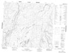
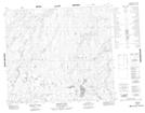
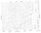
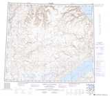
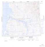
Maps showing Muskox River, Franklin, Northwest Territories
Muskox River is a River located in Franklin, Northwest Territories and has an elevation of 17 meters.
- Latitude: 73° 49' 2'' North (decimal: 73.8172163)
- Longitude: 119° 55' 10'' West (decimal: -119.9195650)
- Topography Feature Category: River
- Geographical Feature: River
- Canadian Province/Territory: Northwest Territories
- Elevation: 17 meters
- Location: Franklin
- Atlas of Canada Locator Map: Muskox River
- GPS Coordinate Locator Map: Muskox River Lat/Long
Muskox River NTS Map Sheets