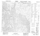
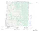
Maps showing Nahanni Plateau, Mackenzie, Northwest Territories
Nahanni Plateau is a Plain located in Mackenzie, Northwest Territories.
- Latitude: 62° 15' 0'' North (decimal: 62.2500270)
- Longitude: 124° 45' 6'' West (decimal: -124.7517127)
- Topography Feature Category: Plain
- Geographical Feature: Plateau
- Canadian Province/Territory: Northwest Territories
- Location: Mackenzie
- Atlas of Canada Locator Map: Nahanni Plateau
- GPS Coordinate Locator Map: Nahanni Plateau Lat/Long
Nahanni Plateau NTS Map Sheets