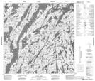
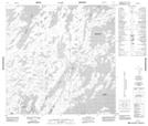
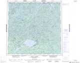
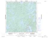
Maps showing Opescal Lake, Mackenzie, Northwest Territories
Opescal Lake is a Lake located in Mackenzie, Northwest Territories and has an elevation of 422 meters.
- Latitude: 60° 1' 31'' North (decimal: 60.0251930)
- Longitude: 104° 53' 32'' West (decimal: -104.8923173)
- Topography Feature Category: Lake
- Geographical Feature: Lake
- Canadian Province/Territory: Northwest Territories
- Elevation: 422 meters
- Location: Mackenzie
- Atlas of Canada Locator Map: Opescal Lake
- GPS Coordinate Locator Map: Opescal Lake Lat/Long
Opescal Lake NTS Map Sheets