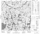
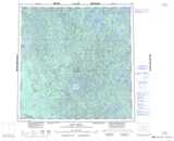
Maps showing Othikethe Falls, Mackenzie, Northwest Territories
Othikethe Falls is a River located in Mackenzie, Northwest Territories and has an elevation of 287 meters.
- Latitude: 60° 26' 1'' North (decimal: 60.4336212)
- Longitude: 110° 44' 5'' West (decimal: -110.7346031)
- Topography Feature Category: River
- Geographical Feature: Brook
- Canadian Province/Territory: Northwest Territories
- Elevation: 287 meters
- Location: Mackenzie
- Atlas of Canada Locator Map: Othikethe Falls
- GPS Coordinate Locator Map: Othikethe Falls Lat/Long
Othikethe Falls NTS Map Sheets