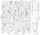
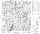
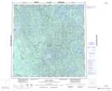
Maps showing Oulton Lake, Mackenzie, Northwest Territories
Oulton Lake is a Lake located in Mackenzie, Northwest Territories and has an elevation of 268 meters.
- Latitude: 60° 47' 1'' North (decimal: 60.7836583)
- Longitude: 111° 20' 4'' West (decimal: -111.3344817)
- Topography Feature Category: Lake
- Geographical Feature: Lake
- Canadian Province/Territory: Northwest Territories
- Elevation: 268 meters
- Location: Mackenzie
- Atlas of Canada Locator Map: Oulton Lake
- GPS Coordinate Locator Map: Oulton Lake Lat/Long
Oulton Lake NTS Map Sheets