Maps showing Page Point, Franklin, Northwest Territories
Page Point is a Cape located in Franklin, Northwest Territories.
- Latitude: 70° 39' 52'' North (decimal: 70.6643655)
- Longitude: 113° 32' 17'' West (decimal: -113.538103)
- Topography Feature Category: Cape
- Geographical Feature: Point
- Canadian Province/Territory: Northwest Territories
- Location: Franklin
- Atlas of Canada Locator Map: Page Point
- GPS Coordinate Locator Map: Page Point Lat/Long
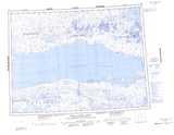
Page Point NTS Map Sheets