Maps showing Painted Mountains, Mackenzie, Northwest Territories
Painted Mountains is a Mountain located in Mackenzie, Northwest Territories and has an elevation of 1127 meters.
- Latitude: 62° 45' 00'' North (decimal: 62.7499979)
- Longitude: 125° 30' 6'' West (decimal: -125.5016764)
- Topography Feature Category: Mountain
- Geographical Feature: Mountains
- Canadian Province/Territory: Northwest Territories
- Elevation: 1127 meters
- Location: Mackenzie
- Atlas of Canada Locator Map: Painted Mountains
- GPS Coordinate Locator Map: Painted Mountains Lat/Long
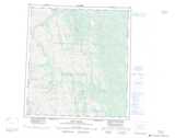
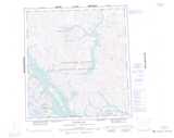
Painted Mountains NTS Map Sheets
095K05 Bell Heather Lake Topographic Map at 1:50,000 scale
095K06 No Title Topographic Map at 1:50,000 scale
095K11 No Title Topographic Map at 1:50,000 scale
095K12 No Title Topographic Map at 1:50,000 scale
095K13 No Title Topographic Map at 1:50,000 scale
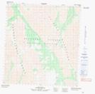
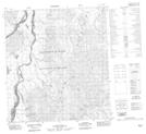
095K14 Pastel Creek Topographic Map at 1:50,000 scale
095L16 No Title Topographic Map at 1:50,000 scale
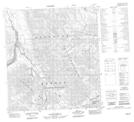
095M01 No Title Topographic Map at 1:50,000 scale
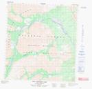
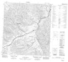
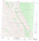
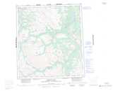
095N04 Painted Mountains Topographic Map at 1:50,000 scale
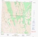
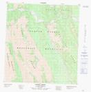
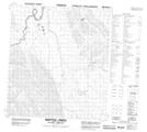
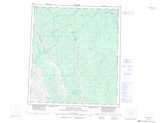
095N05 Marten Creek Topographic Map at 1:50,000 scale
095K Root River Topographic Map at 1:250,000 scale
095L Glacier Lake Topographic Map at 1:250,000 scale
095M Wrigley Lake Topographic Map at 1:250,000 scale
095N Dahadinni River Topographic Map at 1:250,000 scale