Canada Topographic Maps

Parker River Topo Maps

Topography maps and Latitude/Longitude Location

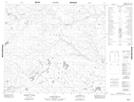
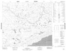
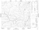
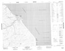
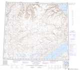
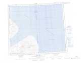
Maps showing Parker River, Franklin, Northwest Territories

Parker River is a River located in Franklin, Northwest Territories.

  • Latitude: 73° 40' 2'' North   (decimal: 73.6672627)
  • Longitude: 115° 35' 9'' West   (decimal: -115.5858662)
  • Topography Feature Category: River
  • Geographical Feature: River
  • Canadian Province/Territory: Northwest Territories
  • Location: Franklin
  • Atlas of Canada Locator Map: Parker River
  • GPS Coordinate Locator Map: Parker River Lat/Long

Parker River NTS Map Sheets

088C07 No Title Topographic Map at 1:50,000 scale

088C08 No Title Topographic Map at 1:50,000 scale

088C09 No Title Topographic Map at 1:50,000 scale

088D12 Parker Point Topographic Map at 1:50,000 scale

088C White Sand Creek Topographic Map at 1:250,000 scale

088D Peel Point Topographic Map at 1:250,000 scale

 
Buy Topographic Maps DVD
Newsletter Sign-up

Yes, I want to receive map store discounts.


Bookmark and Share