Canada Topographic Maps

Poplar River Topo Maps

Topography maps and Latitude/Longitude Location

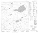
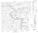
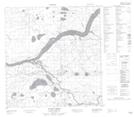
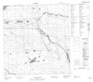
Maps showing Poplar River, Mackenzie, Northwest Territories

Poplar River is a River located in Mackenzie, Northwest Territories and has an elevation of 314 meters.

  • Latitude: 61° 21' 50'' North   (decimal: 61.3639834)
  • Longitude: 120° 52' 20'' West   (decimal: -120.8723062)
  • Topography Feature Category: River
  • Geographical Feature: River
  • Canadian Province/Territory: Northwest Territories
  • Elevation: 314 meters
  • Location: Mackenzie
  • Atlas of Canada Locator Map: Poplar River
  • GPS Coordinate Locator Map: Poplar River Lat/Long

Poplar River NTS Map Sheets

095A13 Cormack Lake Topographic Map at 1:50,000 scale

095H03 Poplar River Topographic Map at 1:50,000 scale

095H05 Scotty Creek Topographic Map at 1:50,000 scale

095H06 No Title Topographic Map at 1:50,000 scale

095H07 Jean-Marie Creek Topographic Map at 1:50,000 scale

095A Trout Lake Topographic Map at 1:250,000 scale

095H Fort Simpson Topographic Map at 1:250,000 scale

 
Buy Topographic Maps DVD
Newsletter Sign-up

Yes, I want to receive map store discounts.


Bookmark and Share