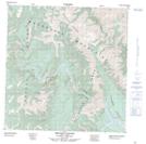
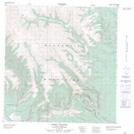
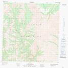
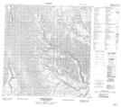
Maps showing Prairie Creek, Mackenzie, Northwest Territories
Prairie Creek is a River located in Mackenzie, Northwest Territories and has an elevation of 938 meters.
- Latitude: 61° 15' 0'' North (decimal: 61.2500302)
- Longitude: 124° 27' 6'' West (decimal: -124.4515798)
- Topography Feature Category: River
- Geographical Feature: Creek
- Canadian Province/Territory: Northwest Territories
- Elevation: 938 meters
- Location: Mackenzie
- Atlas of Canada Locator Map: Prairie Creek
- GPS Coordinate Locator Map: Prairie Creek Lat/Long
Prairie Creek NTS Map Sheets