Maps showing Prince Albert Sound, Franklin, Northwest Territories
Prince Albert Sound is a Channel located in Franklin, Northwest Territories.
- Latitude: 70° 27' 2'' North (decimal: 70.4504598)
- Longitude: 115° 0' 7'' West (decimal: -115.0020786)
- Topography Feature Category: Channel
- Geographical Feature: Sound
- Canadian Province/Territory: Northwest Territories
- Location: Franklin
- Atlas of Canada Locator Map: Prince Albert Sound
- GPS Coordinate Locator Map: Prince Albert Sound Lat/Long
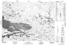
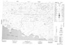
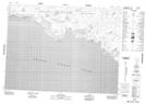
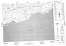
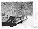
Prince Albert Sound NTS Map Sheets
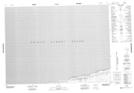
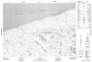
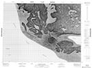
077F05 George Island Topographic Map at 1:50,000 scale
087E01 No Title Topographic Map at 1:50,000 scale
087E02 No Title Topographic Map at 1:50,000 scale
087E04 No Title Topographic Map at 1:50,000 scale
087E05 No Title Topographic Map at 1:50,000 scale
087E06 No Title Topographic Map at 1:50,000 scale
087E07 Linaluk Island Topographic Map at 1:50,000 scale
087E08 No Title Topographic Map at 1:50,000 scale
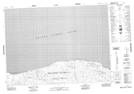
087E09 Woodward Point Topographic Map at 1:50,000 scale
087E10 Page Point Topographic Map at 1:50,000 scale
087E11 No Title Topographic Map at 1:50,000 scale
087E12 No Title Topographic Map at 1:50,000 scale
087F01 Cape Back Topographic Map at 1:50,000 scale
087F02 Cape Baring Topographic Map at 1:50,000 scale
087F07 Horizon Islets Topographic Map at 1:50,000 scale
087F09 Cairn Bluffs Topographic Map at 1:50,000 scale
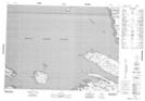
087F10 Holman Island Topographic Map at 1:50,000 scale
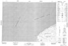
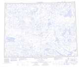
077F Kagloryuak River Topographic Map at 1:250,000 scale
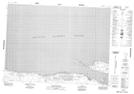
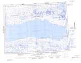
087E Prince Albert Sound Topographic Map at 1:250,000 scale
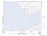
087F Holman Island Topographic Map at 1:250,000 scale