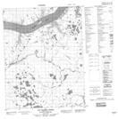
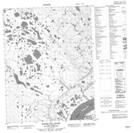
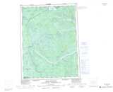
Maps showing Rabbit Hay River, Mackenzie, Northwest Territories
Rabbit Hay River is a River located in Mackenzie, Northwest Territories and has an elevation of 18 meters.
- Latitude: 67° 13' 40'' North (decimal: 67.2277074)
- Longitude: 132° 45' 23'' West (decimal: -132.7564768)
- Topography Feature Category: River
- Geographical Feature: River
- Canadian Province/Territory: Northwest Territories
- Elevation: 18 meters
- Location: Mackenzie
- Atlas of Canada Locator Map: Rabbit Hay River
- GPS Coordinate Locator Map: Rabbit Hay River Lat/Long
Rabbit Hay River NTS Map Sheets