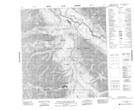
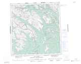
Maps showing Rabbitkettle Lake, Mackenzie, Northwest Territories
Rabbitkettle Lake is a Lake located in Mackenzie, Northwest Territories and has an elevation of 610 meters.
- Latitude: 61° 57' 00'' North (decimal: 61.9498930)
- Longitude: 127° 13' 6'' West (decimal: -127.2184007)
- Topography Feature Category: Lake
- Geographical Feature: Lake
- Canadian Province/Territory: Northwest Territories
- Elevation: 610 meters
- Location: Mackenzie
- Atlas of Canada Locator Map: Rabbitkettle Lake
- GPS Coordinate Locator Map: Rabbitkettle Lake Lat/Long
Rabbitkettle Lake NTS Map Sheets