Canada Topographic Maps

Rabbitskin River Topo Maps

Topography maps and Latitude/Longitude Location

Maps showing Rabbitskin River, Mackenzie, Northwest Territories

Rabbitskin River is a River located in Mackenzie, Northwest Territories and has an elevation of 156 meters.

  • Latitude: 61° 46' 55'' North   (decimal: 61.7820472)
  • Longitude: 120° 41' 45'' West   (decimal: -120.6959175)
  • Topography Feature Category: River
  • Geographical Feature: River
  • Canadian Province/Territory: Northwest Territories
  • Elevation: 156 meters
  • Location: Mackenzie
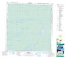
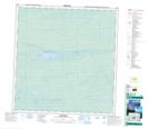
  • Atlas of Canada Locator Map: Rabbitskin River
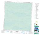
  • GPS Coordinate Locator Map: Rabbitskin River Lat/Long

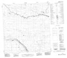
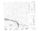
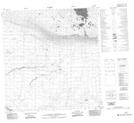
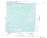
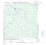
Rabbitskin River NTS Map Sheets

085E10 No Title Topographic Map at 1:50,000 scale

085E11 No Title Topographic Map at 1:50,000 scale

085E12 No Title Topographic Map at 1:50,000 scale

095H09 No Title Topographic Map at 1:50,000 scale

095H15 Strong Point Topographic Map at 1:50,000 scale

095H16 No Title Topographic Map at 1:50,000 scale

085E Mills Lake Topographic Map at 1:250,000 scale

095H Fort Simpson Topographic Map at 1:250,000 scale

 
Buy Topographic Maps DVD
Newsletter Sign-up

Yes, I want to receive map store discounts.


Bookmark and Share