Canada Topographic Maps

Rengleng River Topo Maps

Topography maps and Latitude/Longitude Location

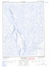
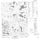
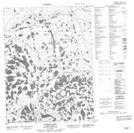
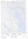
Maps showing Rengleng River, Mackenzie, Northwest Territories

Rengleng River is a River located in Mackenzie, Northwest Territories and has an elevation of 8 meters.

  • Latitude: 67° 47' 50'' North   (decimal: 67.7971208)
  • Longitude: 134° 7' 44'' West   (decimal: -134.1288573)
  • Topography Feature Category: River
  • Geographical Feature: River
  • Canadian Province/Territory: Northwest Territories
  • Elevation: 8 meters
  • Location: Mackenzie
  • Atlas of Canada Locator Map: Rengleng River
  • GPS Coordinate Locator Map: Rengleng River Lat/Long

Rengleng River NTS Map Sheets

106M16 East Channel Topographic Map at 1:50,000 scale

106N10 Wounded Bear Lake Topographic Map at 1:50,000 scale

106N11 Puzzle Lake Topographic Map at 1:50,000 scale

106N12 Tundra Lake Topographic Map at 1:50,000 scale

106N13 No Title Topographic Map at 1:50,000 scale

106M Fort Mcpherson Topographic Map at 1:250,000 scale

106N Arctic Red River Topographic Map at 1:250,000 scale

 
Buy Topographic Maps DVD
Newsletter Sign-up

Yes, I want to receive map store discounts.


Bookmark and Share