Canada Topographic Maps

Saline River Topo Maps

Topography maps and Latitude/Longitude Location

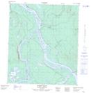
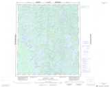
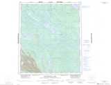
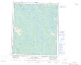
Maps showing Saline River, Mackenzie, Northwest Territories

Saline River is a River located in Mackenzie, Northwest Territories and has an elevation of 148 meters.

  • Latitude: 64° 17' 20'' North   (decimal: 64.2889832)
  • Longitude: 124° 31' 16'' West   (decimal: -124.5211704)
  • Topography Feature Category: River
  • Geographical Feature: River
  • Canadian Province/Territory: Northwest Territories
  • Elevation: 148 meters
  • Location: Mackenzie
  • Atlas of Canada Locator Map: Saline River
  • GPS Coordinate Locator Map: Saline River Lat/Long

Saline River NTS Map Sheets

086C07 Devries Lake Topographic Map at 1:50,000 scale

086C08 Ingray Lake Topographic Map at 1:50,000 scale

096B05 Twin Fish Lake Topographic Map at 1:50,000 scale

096C07 Burnt Point Topographic Map at 1:50,000 scale

086C Hardisty Lake Topographic Map at 1:250,000 scale

096B Blackwater Lake Topographic Map at 1:250,000 scale

096C Fort Norman Topographic Map at 1:250,000 scale

 
Buy Topographic Maps DVD
Newsletter Sign-up

Yes, I want to receive map store discounts.


Bookmark and Share