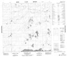
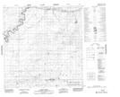
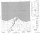
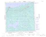
Maps showing Sandy River, Mackenzie, Northwest Territories
Sandy River is a River located in Mackenzie, Northwest Territories and has an elevation of 242 meters.
- Latitude: 60° 50' 0'' North (decimal: 60.8334618)
- Longitude: 115° 37' 25'' West (decimal: -115.6235773)
- Topography Feature Category: River
- Geographical Feature: River
- Canadian Province/Territory: Northwest Territories
- Elevation: 242 meters
- Location: Mackenzie
- Atlas of Canada Locator Map: Sandy River
- GPS Coordinate Locator Map: Sandy River Lat/Long
Sandy River NTS Map Sheets