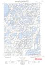
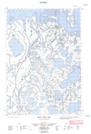
Maps showing Seal Island, Mackenzie, Northwest Territories
Seal Island is a Island located in Mackenzie, Northwest Territories.
- Latitude: 69° 24' 30'' North (decimal: 69.4082723)
- Longitude: 134° 51' 40'' West (decimal: -134.8611265)
- Topography Feature Category: Island
- Geographical Feature: Island
- Canadian Province/Territory: Northwest Territories
- Location: Mackenzie
- Atlas of Canada Locator Map: Seal Island
- GPS Coordinate Locator Map: Seal Island Lat/Long
Seal Island NTS Map Sheets