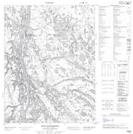
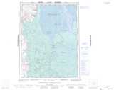
Maps showing Shiltee Rock, Mackenzie, Northwest Territories
Shiltee Rock is a Shoal located in Mackenzie, Northwest Territories.
- Latitude: 67° 17' 15'' North (decimal: 67.2873623)
- Longitude: 134° 54' 29'' West (decimal: -134.9079514)
- Topography Feature Category: Shoal
- Geographical Feature: Rock
- Canadian Province/Territory: Northwest Territories
- Location: Mackenzie
- Atlas of Canada Locator Map: Shiltee Rock
- GPS Coordinate Locator Map: Shiltee Rock Lat/Long
Shiltee Rock NTS Map Sheets