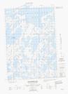
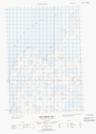
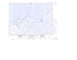
Maps showing Shore Pingo, Mackenzie, Northwest Territories
Shore Pingo is a Mountain located in Mackenzie, Northwest Territories.
- Latitude: 69° 31' 10'' North (decimal: 69.5194190)
- Longitude: 132° 57' 55'' West (decimal: -132.9652465)
- Topography Feature Category: Mountain
- Geographical Feature: Pingo
- Canadian Province/Territory: Northwest Territories
- Location: Mackenzie
- Atlas of Canada Locator Map: Shore Pingo
- GPS Coordinate Locator Map: Shore Pingo Lat/Long
Shore Pingo NTS Map Sheets