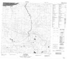
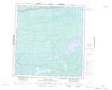
Maps showing Small Axe Creek, Mackenzie, Northwest Territories
Small Axe Creek is a River located in Mackenzie, Northwest Territories.
- Latitude: 61° 14' 0'' North (decimal: 61.2334412)
- Longitude: 118° 55' 5'' West (decimal: -118.9180896)
- Topography Feature Category: River
- Geographical Feature: Creek
- Canadian Province/Territory: Northwest Territories
- Location: Mackenzie
- Atlas of Canada Locator Map: Small Axe Creek
- GPS Coordinate Locator Map: Small Axe Creek Lat/Long
Small Axe Creek NTS Map Sheets