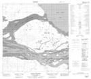
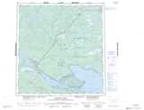
Maps showing South Channel, Mackenzie, Northwest Territories
South Channel is a Channel located in Mackenzie, Northwest Territories and has an elevation of 159 meters.
- Latitude: 61° 3' 0'' North (decimal: 61.0501216)
- Longitude: 116° 40' 5'' West (decimal: -116.6680666)
- Topography Feature Category: Channel
- Geographical Feature: Channel
- Canadian Province/Territory: Northwest Territories
- Elevation: 159 meters
- Location: Mackenzie
- Atlas of Canada Locator Map: South Channel
- GPS Coordinate Locator Map: South Channel Lat/Long
South Channel NTS Map Sheets