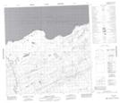
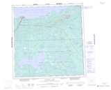
Maps showing Sulphur Cove, Mackenzie, Northwest Territories
Sulphur Cove is a Bay located in Mackenzie, Northwest Territories and has an elevation of 159 meters.
- Latitude: 60° 55' 55'' North (decimal: 60.9320824)
- Longitude: 114° 49' 30'' West (decimal: -114.8249069)
- Topography Feature Category: Bay
- Geographical Feature: Cove
- Canadian Province/Territory: Northwest Territories
- Elevation: 159 meters
- Location: Mackenzie
- Atlas of Canada Locator Map: Sulphur Cove
- GPS Coordinate Locator Map: Sulphur Cove Lat/Long
Sulphur Cove NTS Map Sheets