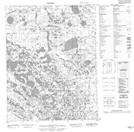
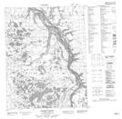
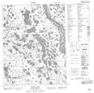
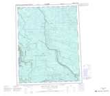
Maps showing Swan Creek, Mackenzie, Northwest Territories
Swan Creek is a River located in Mackenzie, Northwest Territories and has an elevation of 75 meters.
- Latitude: 66° 59' 00'' North (decimal: 66.9832323)
- Longitude: 133° 20' 8'' West (decimal: -133.3356254)
- Topography Feature Category: River
- Geographical Feature: Creek
- Canadian Province/Territory: Northwest Territories
- Elevation: 75 meters
- Location: Mackenzie
- Atlas of Canada Locator Map: Swan Creek
- GPS Coordinate Locator Map: Swan Creek Lat/Long
Swan Creek NTS Map Sheets