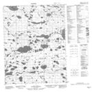
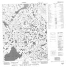
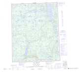
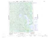
Maps showing Tadek Lake, Franklin, Northwest Territories
Tadek Lake is a Lake located in Franklin, Northwest Territories and has an elevation of 273 meters.
- Latitude: 67° 2' 0'' North (decimal: 67.0334317)
- Longitude: 127° 23' 8'' West (decimal: -127.3854420)
- Topography Feature Category: Lake
- Geographical Feature: Lake
- Canadian Province/Territory: Northwest Territories
- Elevation: 273 meters
- Location: Franklin
- Atlas of Canada Locator Map: Tadek Lake
- GPS Coordinate Locator Map: Tadek Lake Lat/Long
Tadek Lake NTS Map Sheets